Frederick County Approved IW2: What Changed And What Comes Next
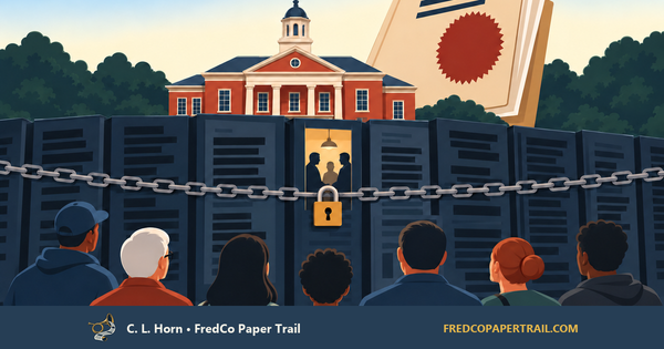
Frederick County narrowed the IW2 industrial maps, restored the changes two weeks later, rejected a planning-first motion, and then approved both the plan and rezonings. The maps moved. The infrastructure did not.


Frederick County just used two final votes to lock in the result of a two-week reversal.
On September 15, the County Council narrowed the Planning Commission’s industrial proposal. It removed the Mount Zion agricultural land from the proposed Limited Industrial conversion, removed the accompanying planned water and sewer classifications, and stripped the General Industrial core from the Mott Road/I-270 map.
On September 29, a Council majority put those industrial changes back.
Then, on October 6, the Council rejected a motion to send IW2 back for smaller-area planning. The same five members who opposed that planning-first step immediately approved the IW2 comprehensive-plan changes and the associated rezonings in two 5–2 votes.
The sequence is the story:
- Narrow the industrial maps.
- Restore the industrial changes one week before final action.
- Reject the motion to do smaller-area planning first.
- Approve both the policy maps and legal zoning.
- Point to future small-area planning as the safeguard.
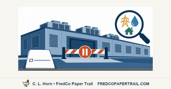
The maps moved. The infrastructure did not.
The Two-Week Reversal
The record. On September 15, the Council approved Amendments 8 through 11. Those amendments removed the proposed Limited Industrial land-use and zoning designations from Mount Zion agricultural parcels and removed the corresponding planned water and sewer classifications. A separate September 15 compromise left the roughly 200-acre Mott Road/I-270 subdistrict entirely Limited Industrial rather than restoring the Planning Commission’s proposed General Industrial core.
On September 29, the Council reversed part of those decisions. Amendments 13 through 16 restored the Mount Zion land-use, zoning, water, and sewer map changes. Amendment 17 restored the General Industrial core near Mott Road.
Our September 30 analysis explained that “restored” referred to the amendments’ place in the 2026 legislative process. It did not mean the land had historically carried the same industrial zoning. At Mount Zion, the result was a new Agricultural-to-Limited-Industrial conversion. Near Mott Road, it revived a General Industrial concept similar to one County staff opposed and the Board of County Commissioners rejected in 2012.
The October 6 agenda put three steps in order: a motion to remand IW2 to the Planning Commission, final action on the IW2 plan, and final action on the associated rezonings.
Donald moved to return the package for smaller-area planning before adoption. McKay supported him. Brad Young, Kavonté Duckett, Renee Knapp, M.C. Keegan-Ayer, and Mason Carter rejected the remand, then voted to approve the plan changes and rezonings. Donald and McKay voted no.
In plain language. The majority did not discover after the vote that detailed planning was unfinished. It was asked to do that planning first and said no. It then changed the maps and offered later planning as reassurance.
📯 Horn’s take. That is the reverse move residents should remember: when asked to plan first and zone later, the Council voted to zone first and call planning the next step. Future studies may refine the outcome, but they will begin after the County has already given industrial development the stronger legal and political starting position.
Infrastructure Is Still A Promise
The record. The October 6 actions did not build water or sewer lines, fund road improvements, establish a construction schedule, identify an employer, or guarantee permanent jobs.
For Mount Zion, Planned Service remains an 11-to-20-year utility-planning category. It does not establish that pipes are available at the affected properties today.
The materials reviewed for this article do not provide a funded, sequenced infrastructure-delivery plan showing which road and utility improvements will be built, who will pay for them, or when they will arrive.
In plain language. The County made the land easier to pursue for industrial development. It did not make the infrastructure ready, fund the missing systems, or publish a concrete path for getting them there.
📯 Horn’s take. A zoning vote is leverage, not a jobs program. Until there is an employer, a wage scale, an infrastructure plan, a funding source, and enforceable commitments, claims of economic benefit are salesmanship—not results.
The Scale Is Still Being Reconstructed
The record. The Frederick News-Post reports that the adopted plan changes about 519 acres near Jefferson Pike from Agricultural to Light Industrial. The newspaper divides that figure into approximately 326 acres in the Mount Zion subdistrict and 193 acres in the Jefferson Tech subdistrict.
The report also says that nearly 200 acres along I-270 changed from a mixture of Limited Industrial and Office/Research/Industrial to almost entirely General Industrial.
The official adopted-amendments packet corroborates the affected areas and map directions. FredCo Paper Trail has not yet independently reproduced every acreage total from a final integrated County parcel table and map set.
In plain language. This was not a minor map cleanup. The reported changes cover roughly 700 acres across the Jefferson Pike and I-270 areas, but the public still lacks one final parcel-by-parcel accounting.
📯 Horn’s take. Officials should not get to celebrate a rounded acreage figure while residents must reconstruct the actual land changes from scattered maps and amendment packets. If the County can rezone the land, it can publish the ledger.
The Vote Changed The Starting Rules
The record. The Council approved both the policy map describing the County’s intended future land use and the zoning map establishing the legal categories under which future development may be proposed.
The votes did not approve a particular warehouse, factory, or data center. Limited Industrial zoning does not by itself authorize a data center. Qualifying critical digital infrastructure requires the County’s separate Critical Digital Infrastructure overlay.
In plain language. No specific project has been approved, but the threshold land-use question has been answered. Future debates increasingly begin with industrial zoning already in place.
📯 Horn’s inference. The burden has shifted. Residents may still contest traffic, buffers, utilities, environmental effects, or the size of a future project, but they will be doing so after the Council has already given industrial development the stronger starting position.
Detailed Planning Now Has To Catch Up
The record. Supporters argued that the County needs more development-ready employment land and that current council members retain authority to act through the end of their terms. Opponents argued that infrastructure, environmental constraints, geography, and smaller-area planning should be addressed before broad rezoning.
Keegan-Ayer said future small-area plans would refine IW2’s broad, long-range changes. The current public record does not explain how far those later plans can narrow, condition, or redirect development after the base zoning has changed.
In plain language. Detailed planning was not completed before the rezoning. It now begins from maps already rewritten for industrial use.
📯 Horn’s inference. Calling small-area plans the next step does not restore the leverage lost by doing the zoning first. Their credibility will depend on whether they can still change outcomes—not merely decorate decisions already made.
The Paper Trail From Here
The record. Several records are still needed to close the post-vote account:
- The signed IW2 resolution.
- The final integrated land-use and zoning maps.
- The final integrated water and sewer maps.
- The written October 6 minutes.
- A parcel-level acreage reconciliation.
- The legal effective date of the rezoning actions.
- A funded and sequenced infrastructure-delivery plan.
- The scope, schedule, and authority of the promised small-area plans.
In plain language. Final action has been taken, but the public still lacks the simplest usable version of the decision: one complete set of maps, parcel totals, effective dates, infrastructure commitments, and remaining planning authority.
📯 Horn’s take. Residents should not have to reverse-engineer a final land-use decision from amendment packets and promises about work that will happen later. If the County considers the action complete, the public record should be complete too.
Frederick County did not wait for infrastructure planning to catch up. It changed the maps and told detailed planning to follow.
That choice can still be defended, but not with jobs claims untethered to an employer or assurances that later planning will matter without explaining what those plans can still change.
If IW2 is complete enough to guide development, the County owes residents a record complete enough to test the claim—parcel by parcel, project by project, and dollar by dollar.